


The Hometown Maps Project at the University of Miami started in the 1990s as collection of student work housed in the library at the School of Architecture. In 2015 the library director, Gilda Santana, initiated the construction of an interactive media exhibit to show the collection of hand-drawn maps on a large touchscreen television to be displayed alongside a wall-mounted exhibit showing a selection of the of original maps in Richter Library.
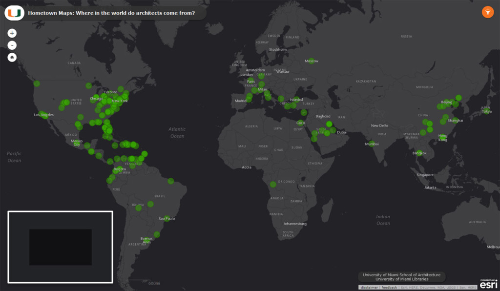
The interactive portion of the exhibit went online in the spring of 2016. The team that put the exhibit together included the GIS services librarian Abe Parrish, the GIS lecturer from the School of Architecture Yi Li, and Tim Norris of Nawi Maps. The exhibit uses a slightly modified version of the ArcMap Online engine to which the lightbox.js library was added as well as a few other design tweaks. The team conceptualized the design together and Gilda helped with the curation of the collection; Tim was responsible for the final implementation of the system.
