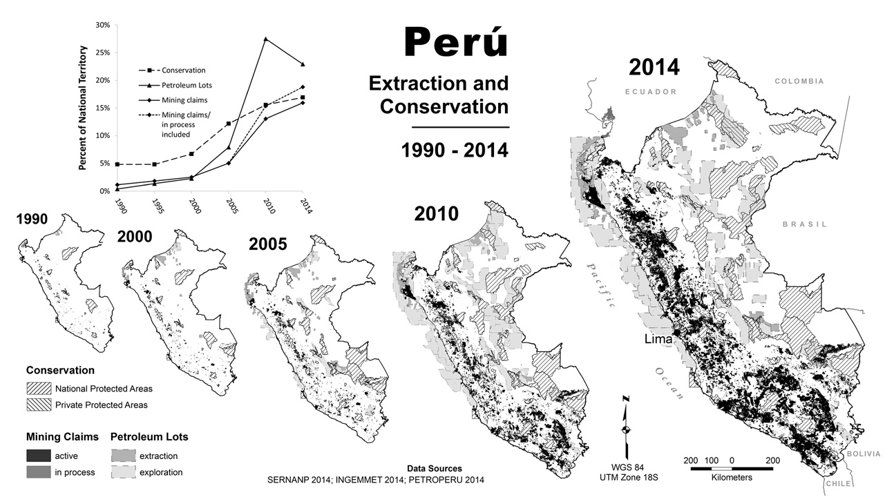
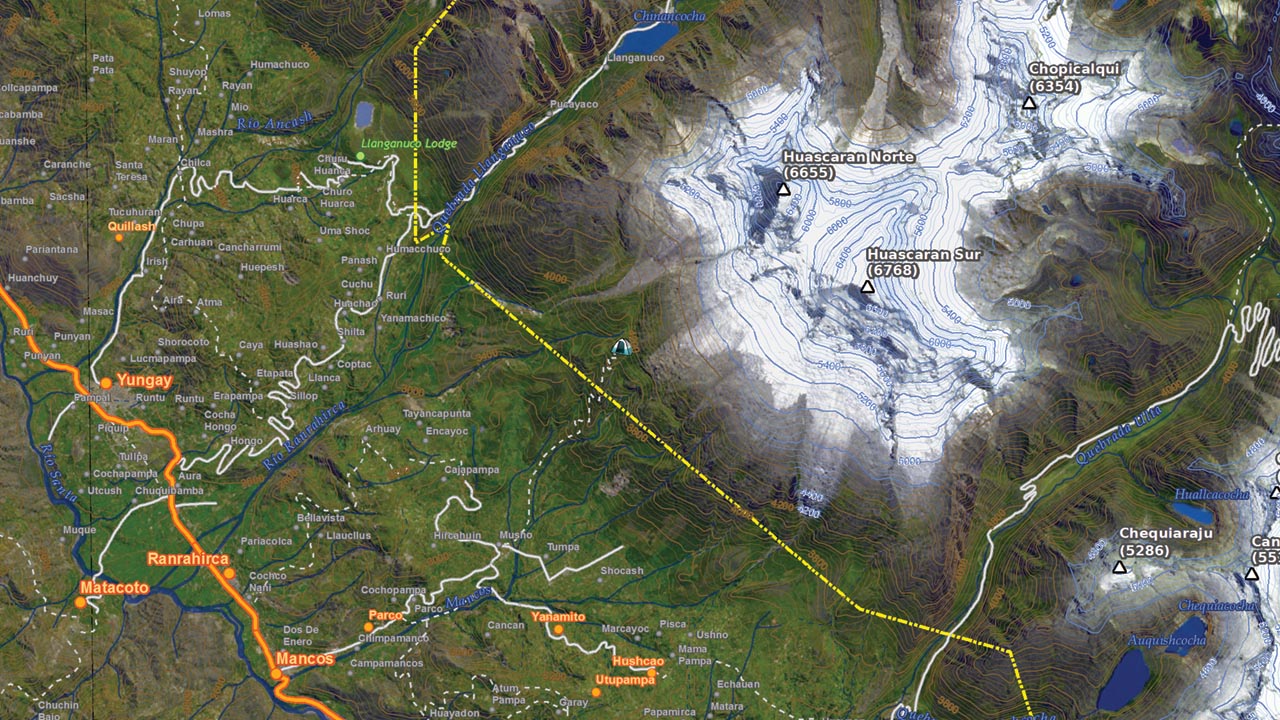
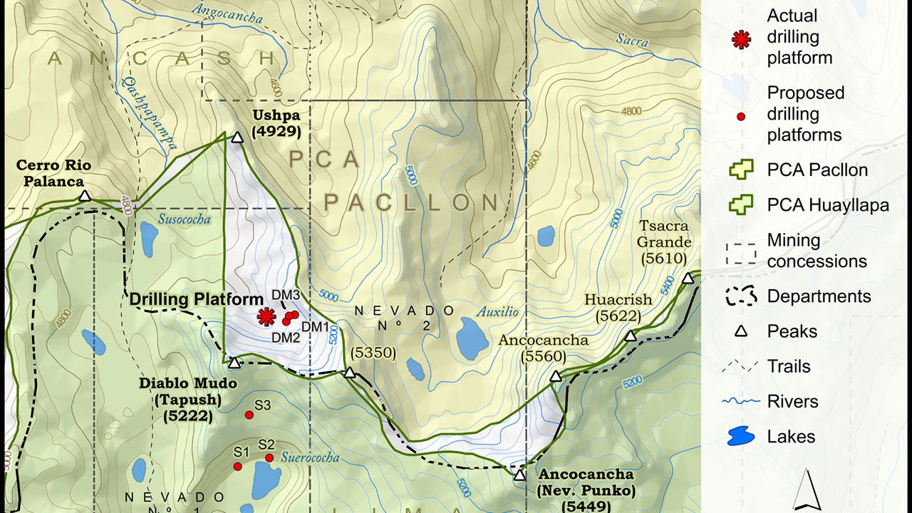
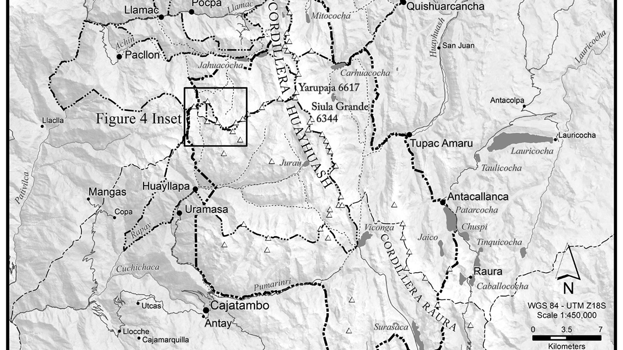
This large format map of the Cordillera Huayhuash shows the land-use designations for conservation–both local and national–and mining. This particular version was printed on vinyl banner materials and then used in outreach workshops in the communities of the Cordillera Huayhuash. The blue markers indicate the location of water quality monitoring stations. Once again, this map tells a compelling story and always starts conversations. An earlier version of this map was also used in the congress of Peru and even made it on to national television as a backdrop to several speakers.
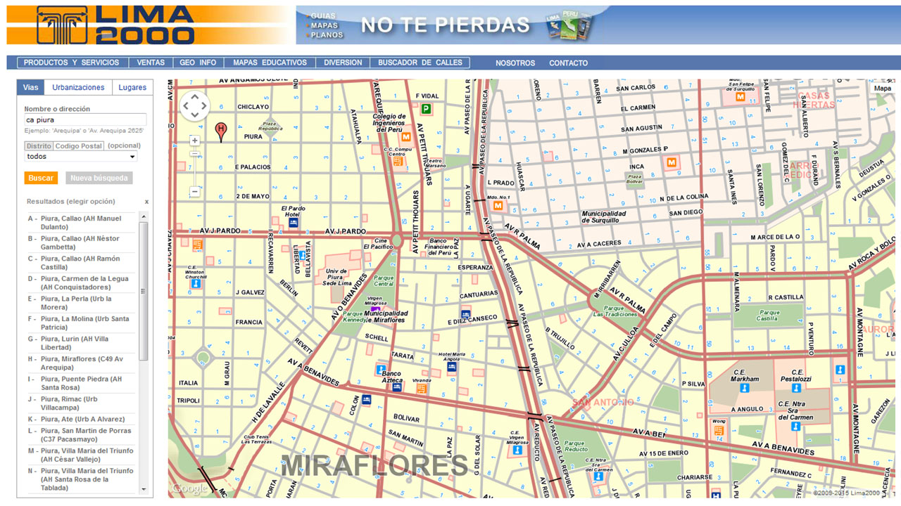
Most of the work was done in ArcMap, but the final product was finished in Photoshop and then taken to a print shop in Lima. These are the printers with 10 meter width capability for printing large scale advertisements to hang on skyscrapers. Amazing!.
