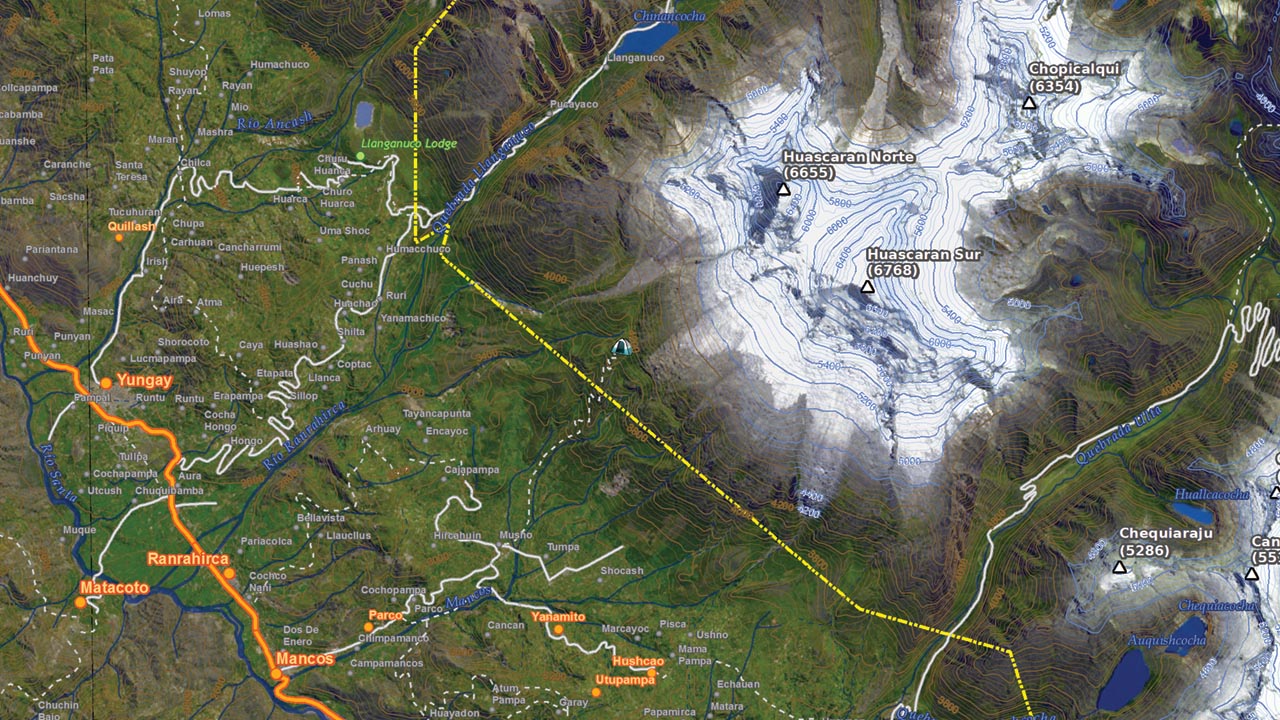
This flyer was made to promote home stay tourism in the village of Humacchuco which lies just outside the boundary of Huasacaran National Park in the Cordillera Blanca of the central Peruvian Andes. The flyer serves as an interpretive guide for people who come to stay for several days in Humacchuco as guests of the community. The visitors can use the flyer on hikes in their free time without a member of the community acting as a guide. Members of the community identified the interpretive points and drew the corresponding maps. The role of Nawi Maps was that of a facilitator to make sure the materials that were created could be used for the final design.
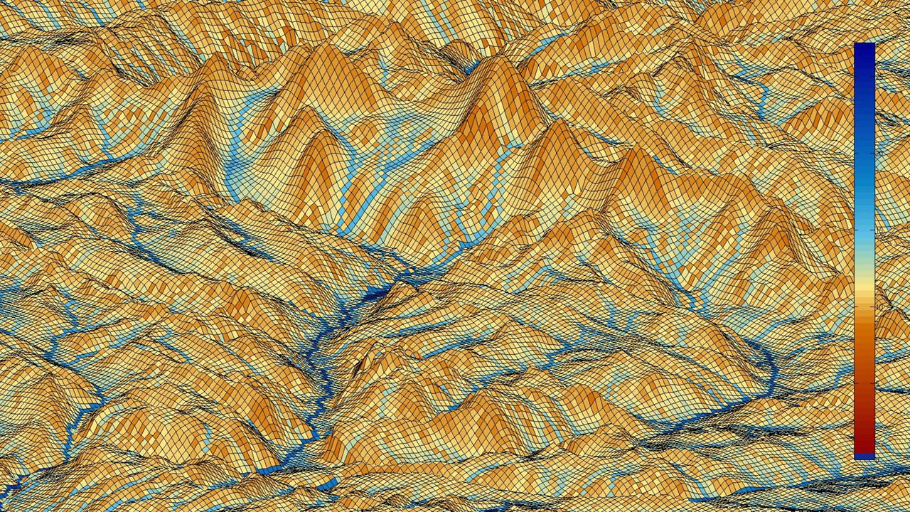
As a part of the map drawing process 3D models of the landscape were created in KPT Bryce and then used by the community members as guides for the birds-eye-view drawings. With several cartographers there was not one maps that looked like the other.
