


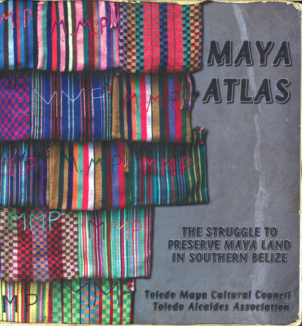
The Maya Atlas was first published in 1997. It marks one of many points in the ongoing struggle of the native Maya of southern Belize to gain sovereignty over their ancestral territory. Under the leadership of the late Dr. Bernard Nietschmann and with three other contractors and one graduate student, this book took over two years to complete. Nawi Maps was responsible for the book design, research logistics and administration, production management, and many other details including the the cover below.
This book has been received with mixed reviews. Some have praised it as an example of indigenous cartography or participatory mapping that became popular in the 1990s. Others have been critical of its “databasing” of Maya culture and geography yet providing minimal benefits to the residents of southern Belize. While the atlas was used as evidence in international courts soon after its publication (see also the map below), in 2015 the Maya of southern Belize still struggle to have their ancestral rights recognized.
The cover above is itself meant to be a map. The bags represent the southern part of Belize and the underlying stone is the Caribbean (compare to the map below). The entire image was constructed in Photoshop on a G3.
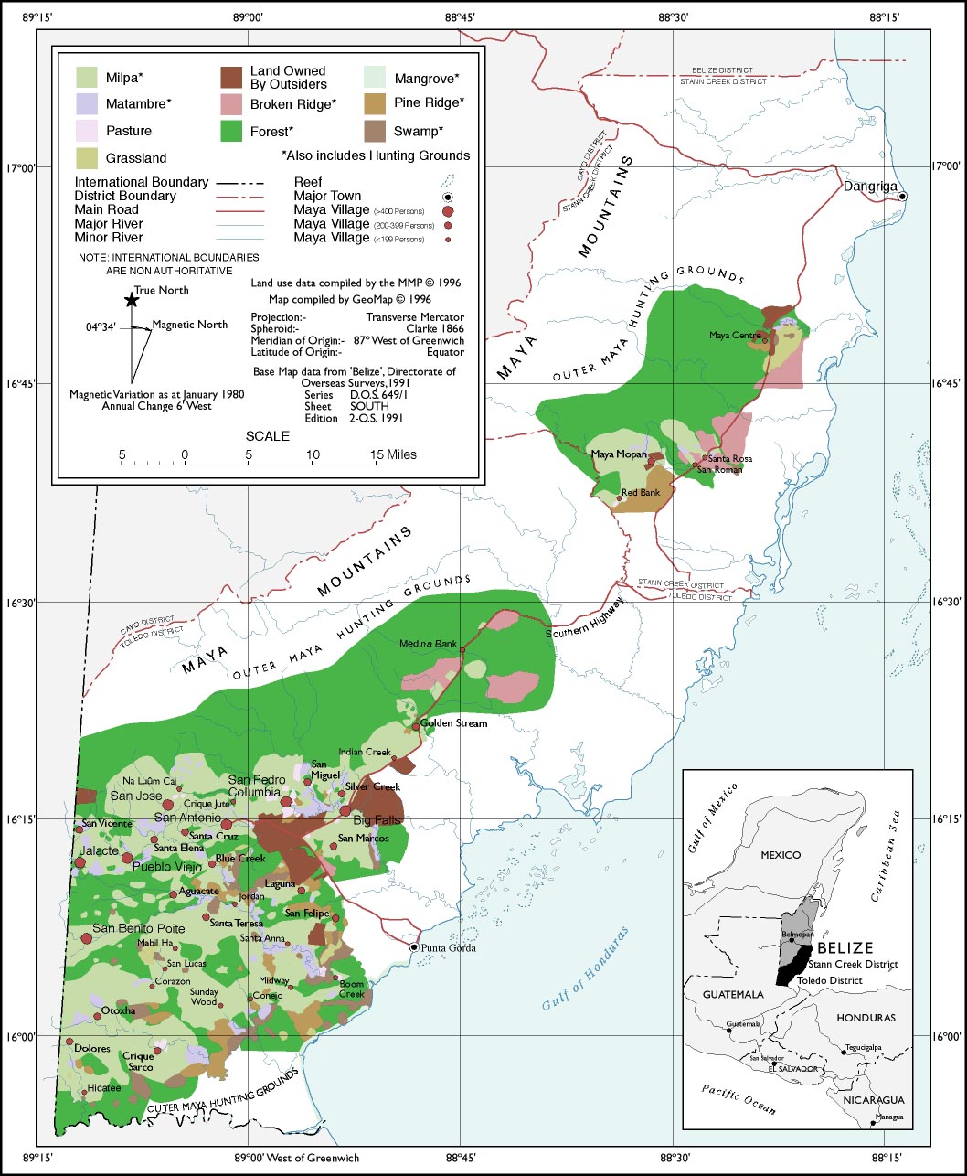
The map above did not appear in the atlas but instead was used in court to make territorial claims based on ancestral land use. While no land titles were issues and nor was sovereignty over the territory granted, a development loan for a pipeline construction project that would have crossed the south-east corner of Belize was withdrawn.
This map was constructed from 36 hand drawn maps (colored pencil on acetate) digitized in MapInfo. Once the digitization was complete the work was edited by members of the Toledo Maya Cultural Council and then imported into Freehand . The base map was constructed in GeoCart and then imported into Freehand. The map was finished in Freehand and then printed as a poster.
