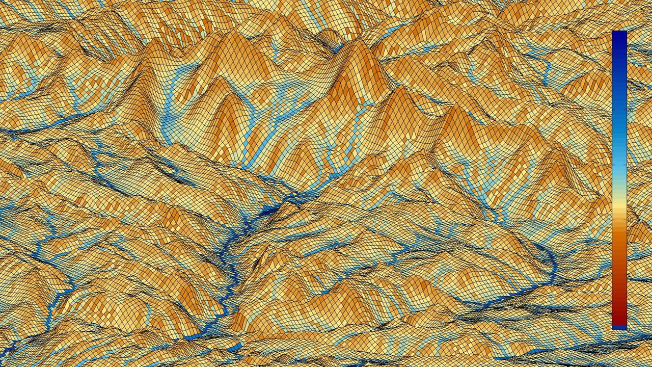
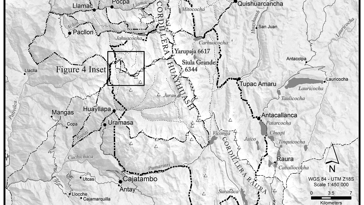
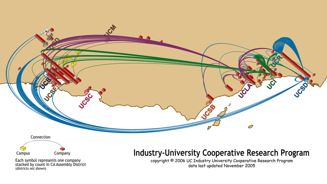
This model shows where water would be expected to collect through and analysis of elevation, slope, and aspect; it is a moisture model. It was constructed for use in a predictive model of pasture productivity; the prediction is that where there is just the right amount of moisture, certain pastures produce at optimum rates. This data is then combined with altitude, walking distances to drinking water, and walking distances to human settlements to construct a model of expected pasture production. It was only partially successful.
This image was created entirely from 60 meters per pixel elevation data collected through the sensors on the SRTM satellites. The original data munge and model was built in ArcMap. Once the model was constructed it was exported as a grid and imported into MatLab for visualization. The final image was finished in Photoshop.
