


This map of the Machu Picchu historical Sanctuary was made for the 2002 edition of the guide book Field Guide to the Birds of the Machu Picchu Sanctuary by Barry Walker (illustrated by Jon Fjeldså).
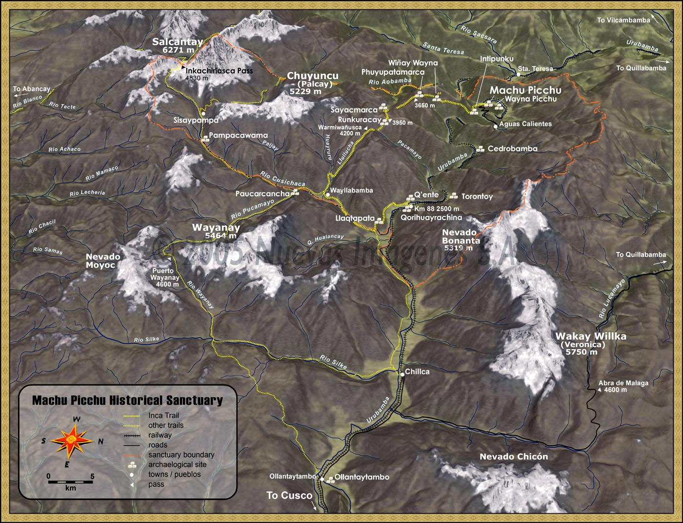
This map is constructed in KPT Bryce, an old ray-tracing program that was made for rendering landscapes. A grey-scale DEM was constructed from contour data and then imported into Bryce. The landscape is entirely artificial rendered only using algorithms based on altitude and slope in the Bryce software. Satellite imagery was used to hand paint the glaciers in Photoshop. This image was finished in Freehand.
