The Pulley Ridge Data Curation experience emerges from the NCCOS funded big science project “Understanding Coral Ecosystem Connectivity in the Gulf of Mexico from Pulley Ridge to the Florida Keys.” Over 30 investigators from disciplines that ranged from economics to physical oceanography to genetics collaborated from 2012 to 2018 to better understand the socio-natural systems that comprise the mesophotic reef formation in the Gulf of Mexico know as Pulley Ridge. This work was undertaken through the Center for Computational Science (CCS) at the University of Miami. The CCS team’s role in this project was to help curate the data products that emerged from the research. As a part of this task, an online portal was created with tools to organize and find the data, as well as to visualize and synthesize the results.
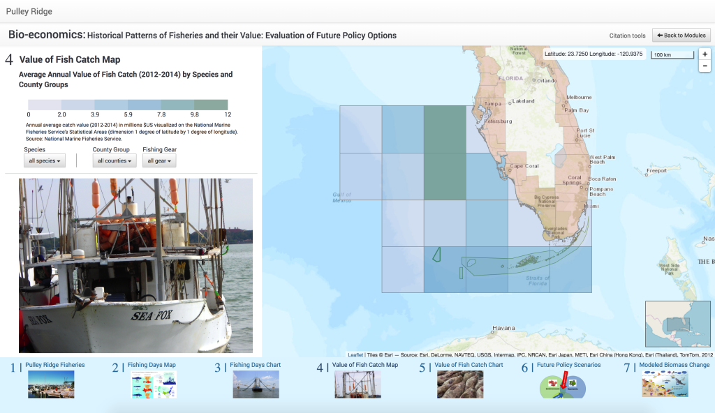
Tim’s role was focused on creating a system of online interactive maps using the leaflet javascript library in the front end, mongo and solr to store and query the data (respectively), and a mean stack to run the backend. The product that emerged is a story map system that lies between the ESRI ArcGIS online story maps and the Knight Labs story maps javascript library. Note that this interactive system was never made to be reposonsive and will not work well on a mobile device.
This project also led to several published works including a conference paper titled “The Pulley Ridge Data Curation Experience” at the 2018 North American Cartographic Information Society (NACIS) annual meeting, a poster titled “The Pulley Ridge Data Curation Experience” for the 2019 Research Data Access and Preservation (RDAP) Summit and a published article later in 2019 titled “Data Curation for Big Interdisciplinary Science: The Pulley Ridge Experience” in the Journal of eScience Librarianship.
