Coral World
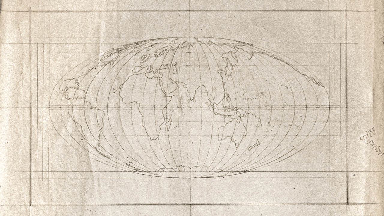
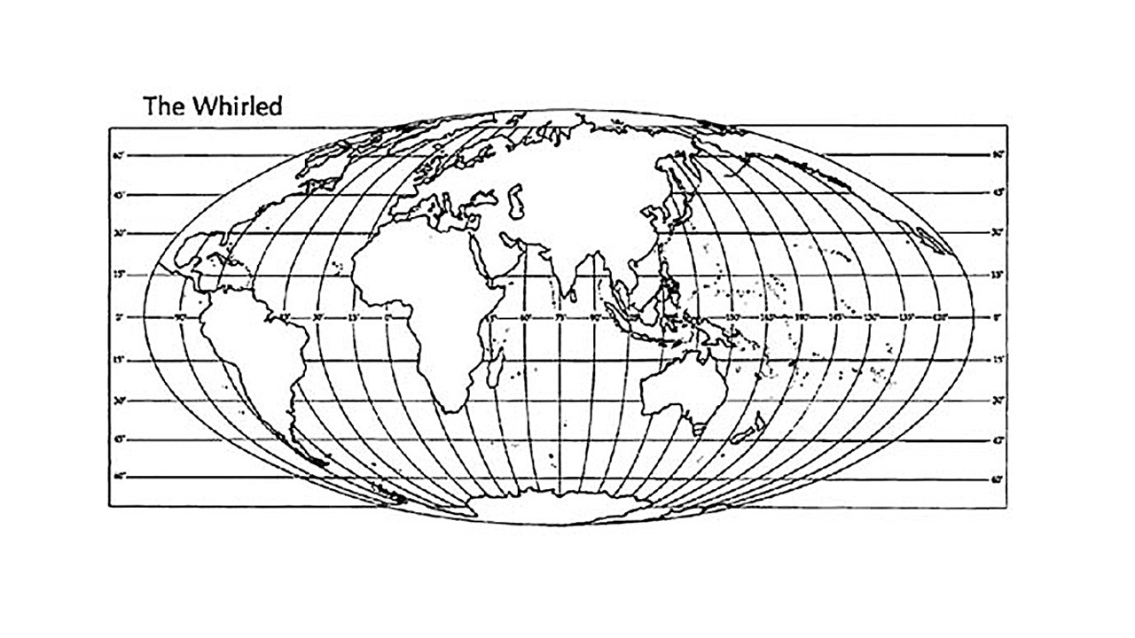
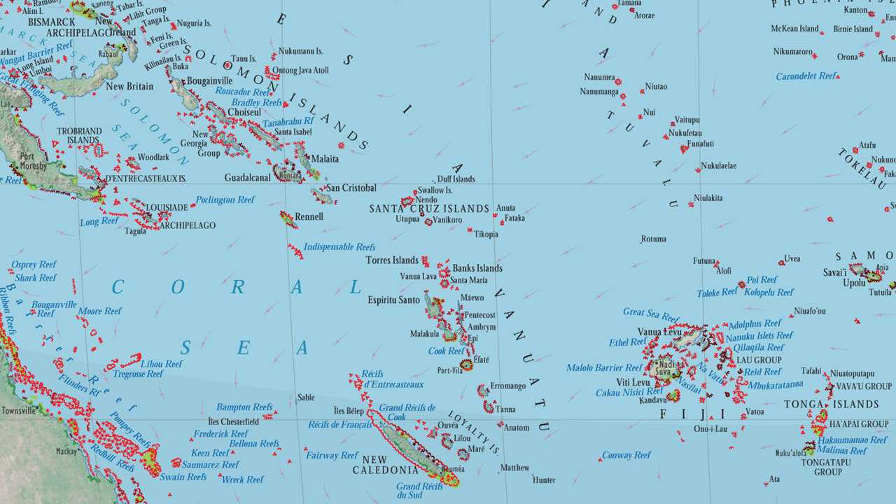
This poster map depicting the location and health of the worlds coral reefs was created in the late 1990's by the Geomap team (Dr. Bernard Nietschmann, Steve Rose, Madison Roswell and Tim Norris) and published by National Geographic in 2000. The data was gathered from reef experts worldwide and merged in a database for GeoCart. The The projection is one-of-a-kind--aptly named the Nietschmann-Norris Equatorial Projection--and was designed to minimize distortion between 30 degrees North latitude and 30 degrees South latitude. It is within this latitude range that most of the worlds warm water corals are found. The projection is actually a Robinson Projection, one of National Geographic's favorites, re-projected onto an elliptical tube. This custom design was programmed into GeoCart to project all of the data for the map, including the coastlines, temperature isolines, and images for the land masses. Once everything was projected the work was imported into Freehand; then the real cartography began. The border for the map was a doodle that was digitized in Freehand and then joined in repeating segments to form the design. As with all maps, the most challenging part of the work was the name placement and editing.
The backside of the poster is a montage of over 200 photos put together in Photoshop on Macintosh G3s. The files were so large and with so many layers that the poster image was broken into seven segments that were worked on separately and then flattened and recombined for the final print. Most of the pictures were taken on a ten day expedition to Caye Caulker in Belize. If you look closely, you can find the geomap team diving on the outside of the barrier reef. Tim Norris was the design lead and created all of the scientific illustrations.
