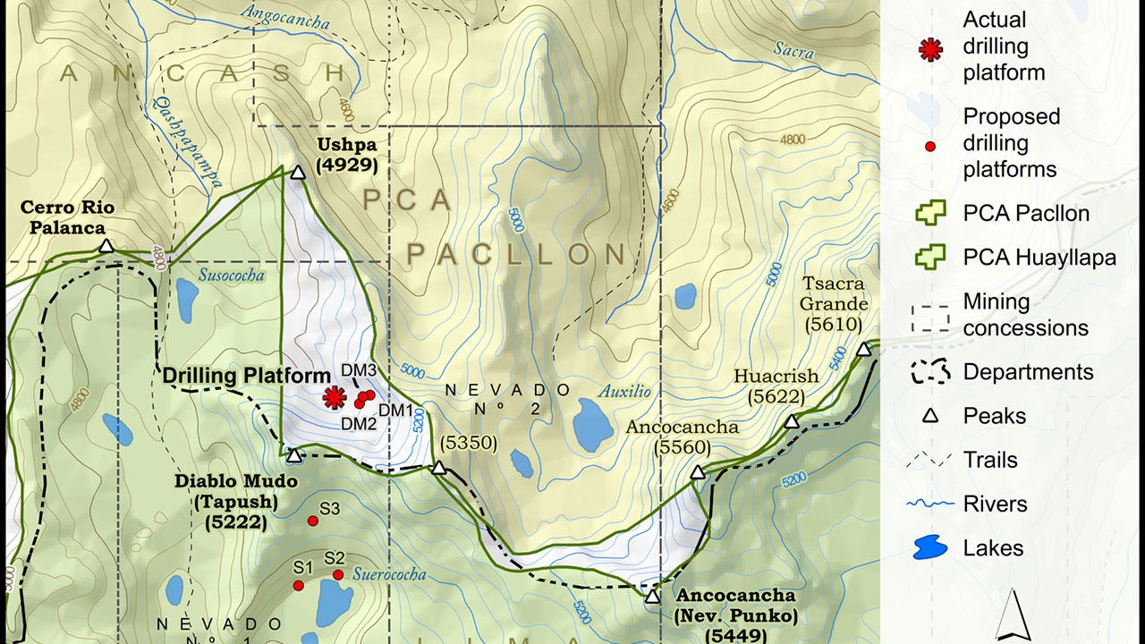
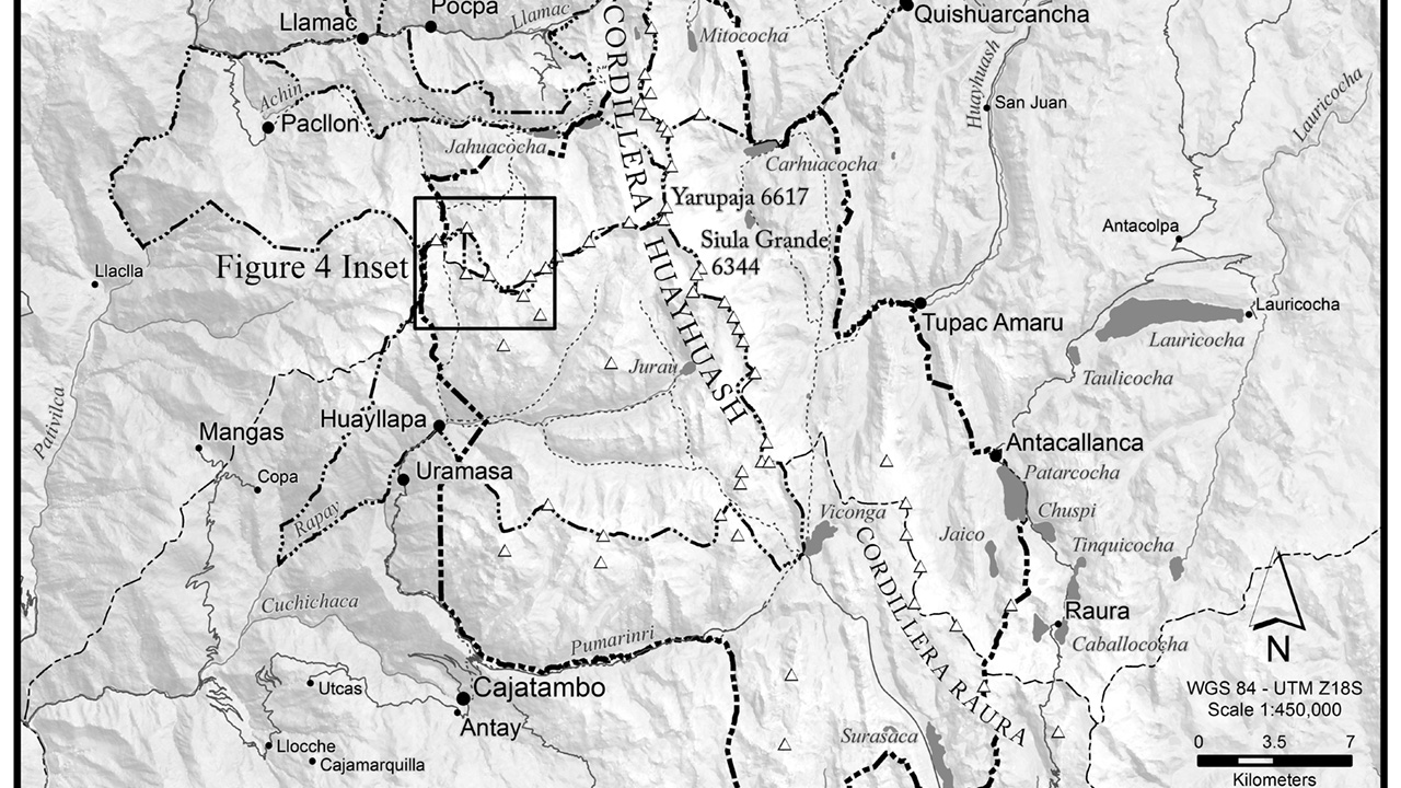
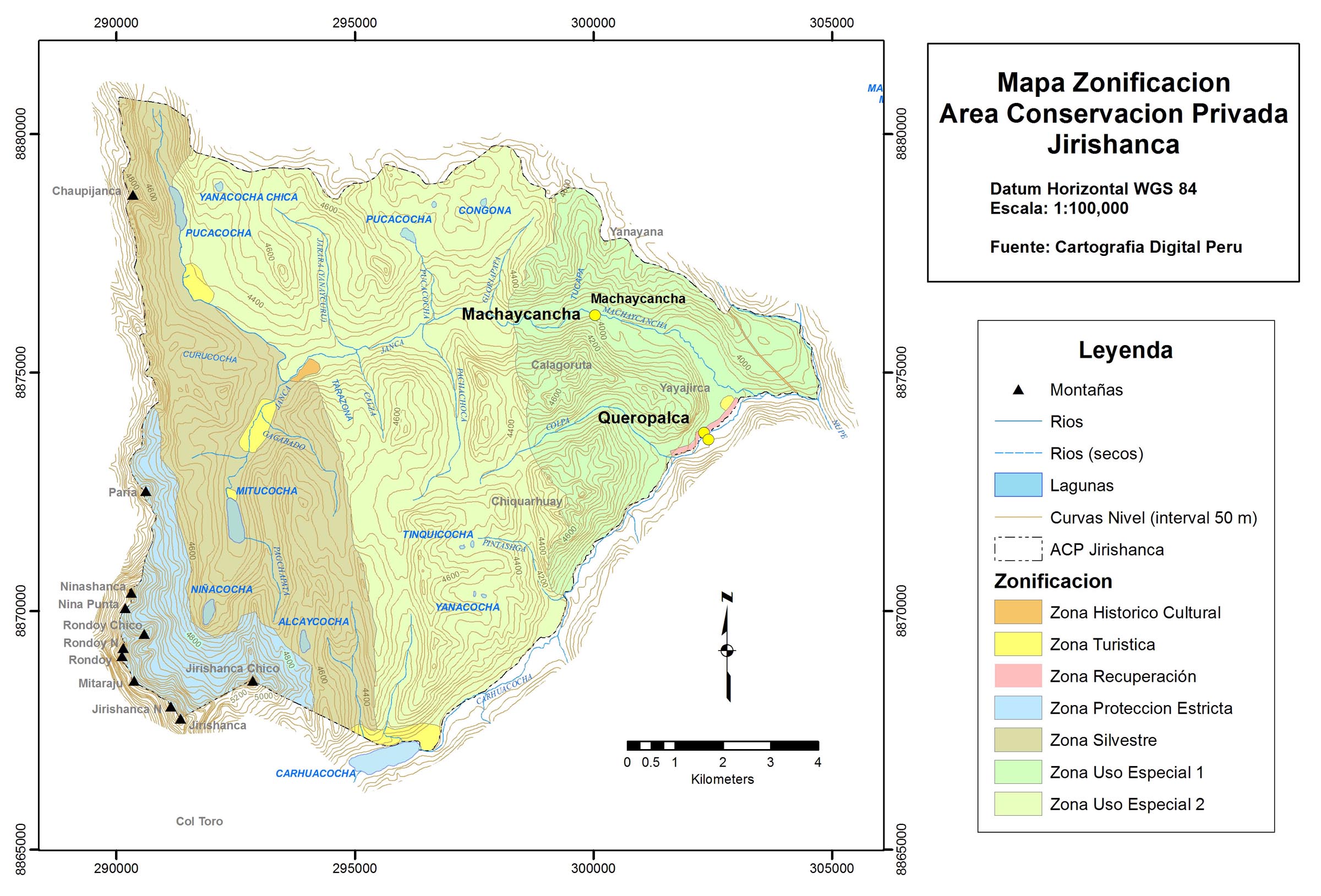
Queropalca is a small community located on the Eastern flanks of the Cordillera Huayhuash in the central Peruvian Andes. In 2005 the community decided to start a private conservation area. The work to create the area was almost entirely done by the leadership within the community. Indeed, the master plan for the area was written by hand. Nawi Maps provided very low cost consulting (sliding scale) to draft the zoning and other maps needed for the master plan and the Peruvian Society for Environmental Law provided pro bono editing serves to the community. The private conservation area was made official in 2008.
The map was drafted from start to finish in ArcMap. See also the experience in Llamac and the larger conservation zoning effort undertaken in 2011.
