


Description
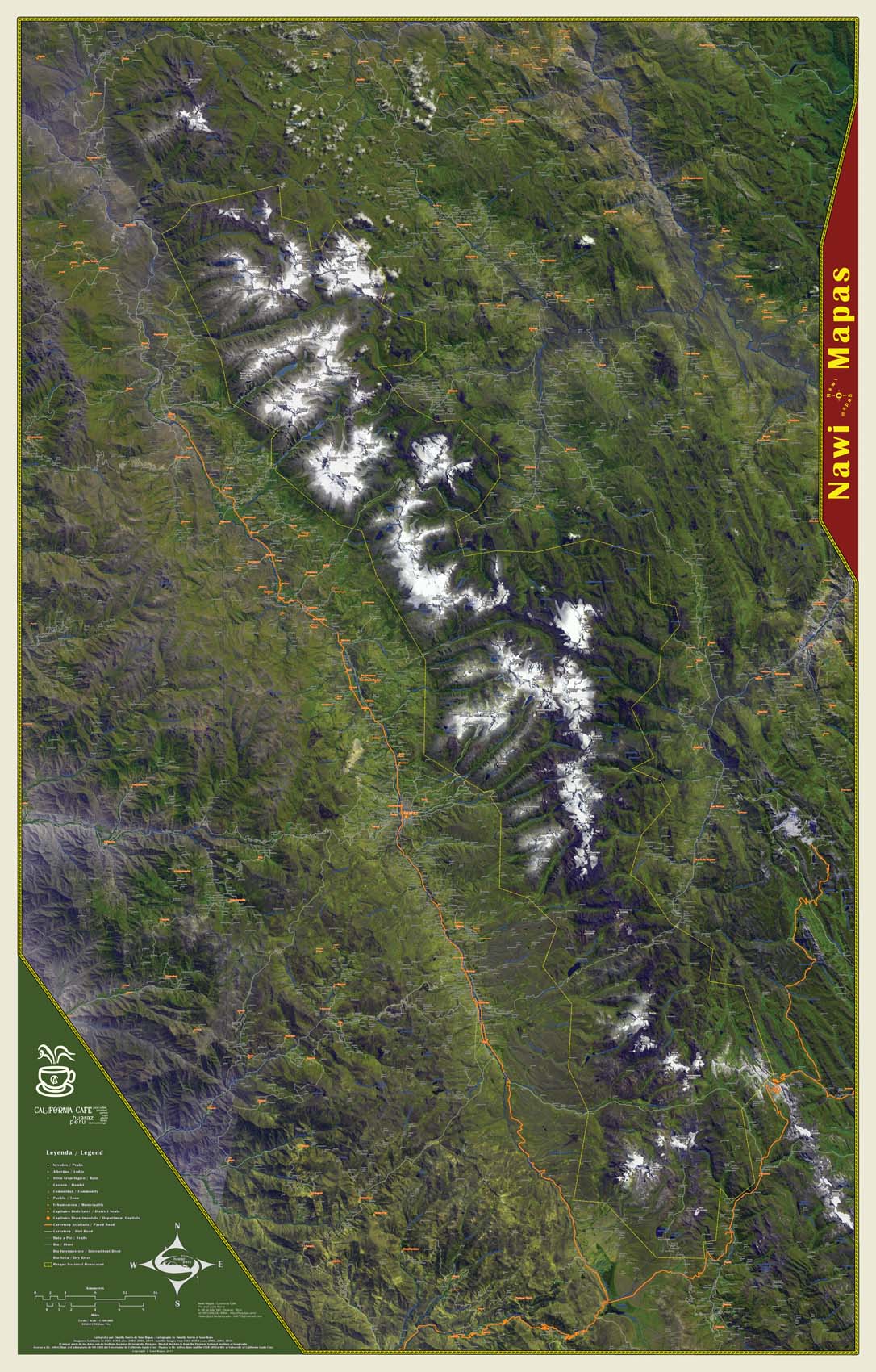
Cordillera Blanca and Huascaran National Park
46″x72″ wall map printed on vinyl
scale: 1:100,000
This 46″x72″ wall map of the entire Cordillera Blanca and Huascaran National Park of Perú was first published in 2011 in Huaraz. While only a few copies were made for specific clients, copies are still available upon request. Note: these custom prints take approximately two weeks be processed, printed and shipped.
Of special note is that this is experimental cartography. False color satellite images are used as the background and vibrant foreground colors that match local natural dyes are used for the human features such as roads and towns. The border is a seventeen layer complex line that is inspired by original artwork found in the Chavin temple (located to the lower right near Chavin de Huantar). These design features highlight the incredible mountains and local culture. You can also see two mega-mines clearly in the imagery: the Antimina mining project near San Marcos (lower right) and the Pierina mine near Huaraz.
