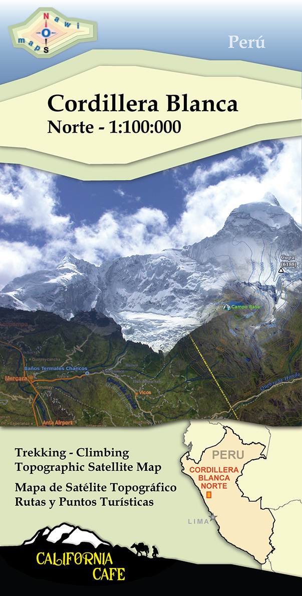
Description
20″x28″ folded topographic satellite map, scale 1:100,000
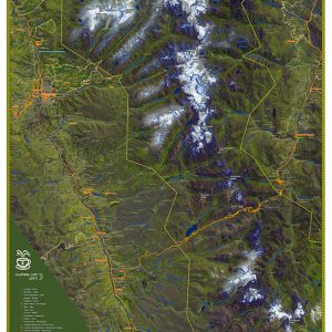
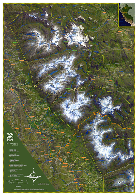
This backcountry map is based on the experimental 46″x72″ wall map of the entire Cordillera Blanca and Huascaran National Park of Perú first published in 2011 in Huaraz. The last updates to this map of the northern Cordillera Blanca were made in 2019 along with several design improvements. Please feel free to take a look at the cartography from the 2011 map to get an idea of map detail.
Of special note is that this is experimental cartography. False color satellite images are used as the background and vibrant foreground colors that match local natural dyes are used for the human features such as roads and towns. The border is a seventeen layer complex line that is inspired by original artwork found in the Chavin temple (located to the lower right near Chavin de Huantar on the southern map). These design features highlight the incredible mountains and local culture. You can also see two mega-mines clearly in the imagery: the Antimina mining project near San Marcos (lower right) and the Pierina mine near Huaraz.